

Our Members Are Registered With
Survey Institute of Zimbabwe
Our Members Are Registered With
Zimbabwe Institute of Engineers(ZIE) & Zimbabwe Council of Engineers(ZCE)




Get full range of surveying, engineering and software services for your business
Geodetic Survey Engineering prides itself as a young modern surveying and engineering company which focuses in three main segments surveying, civil engineering and software services. Geodetic staff are appropriately qualified to meet our client’s surveying, survey software services and civil engineering design requirements, registered with the Survey Institute of Zimbabwe (SIZ) and the Zimbabwe Institute of Engineers ZwIE. We boast with more than fifteen years of combined experience in all forms of surveying and engineering.
All these years, our different services have delivered long lasting innovation
To get Geodetic services and expert knowledge kindly visit our handles or contact us on the number provided for quick response.
Yes we also pride in doing dam construction and siting.
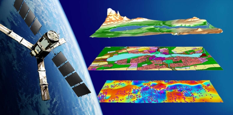
Geoinformatics is the science and the technology which develops and uses information science infrastructure to address the problems of geography, cartography, geosciences and related branches of science and engineering, such as Land Surveying.
We develop custom software in the category or website, web apps, mobile apps, and intelligent and expert systems (eg ChatBots and Digital Boards).

Build or start your services and businesses with us.
We will provide you with exceptional consultancy services and products from our vast team of experts.
We will take you from the start of our services to the up-hll climb till you are satisfied and happy.




Software Engineering
Developing robust and intelligent system for medium and large enterprises.
Get DetailsContact
For any kind of query, contact us with the details below.
- (+263) 772 606 668
- info@geodetic.co.zw
- First Floor Appex House,Harare CBD
Get in Touch
Get in touch with us and get the best service.